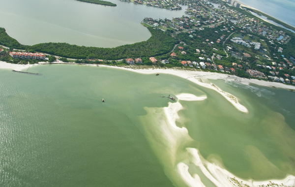
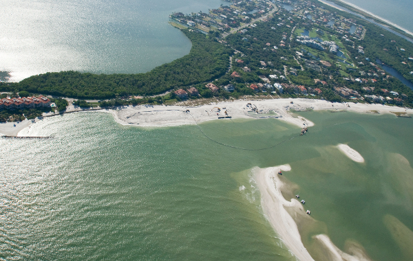
Our purpose is to enable users to make the most informed decision possible when it comes to management of our Florida beaches and coastlines. Data that is both current and easily accessible are the key ingredients that facilitate the management process. Two basic types of data will be used in this effort. Spatial data will be used because the environment is geographic in nature. Tabular data will be used to store information about events which take place at locations stored as spatial data and referred to as spatial features.
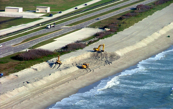
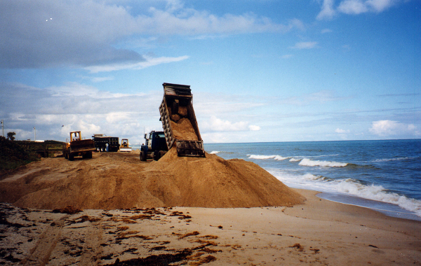
The database stores information about sand samples. Information associated with sand samples includes, but is not limited to, granulometric data, bathymetry, seismic and sidescan sonar images, core photos, core logs, core descriptions, Munsell Color, metadata (information about the original data), and associated project information.

ROSSI Map
Query, analyze and create a customized view of a large range of geoscientific data.
Preliminary Inventory Report
A report organized by Borrow Area type and subdivided by
county that lists in tabular format selected information from the ROSS database.
Submit Your Own Data
Authorized users can now provide project data directly via the website.